
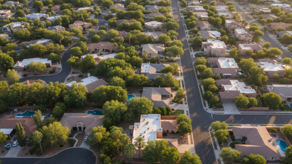
The Loop 101 freeway serves as the main artery for drivers commuting through the eastern portion of the Phoenix metropolitan area. Most residents rely on personal vehicles to reach employment centers, shopping districts, and neighboring cities.
Public transit, autonomous ride services, and paved multi-use trails offer practical alternatives to daily driving. The city layout spreads across 31 miles from north to south, making commute times and transit access primary factors in choosing a neighborhood.
Daily Travel Options in the City
The Pima Freeway, also known as Loop 101, runs north to south along the eastern edge of the city. This major corridor connects the northern residential areas to major employment hubs in the south. Most drivers use this route to bypass local street traffic during rush hour.
Surface streets follow a grid system that makes driving relatively predictable. Major east-west roads like Shea Boulevard and Camelback Road carry heavy daily traffic toward Phoenix. North-south routes like Scottsdale Road handle the bulk of local retail and commercial traffic.
While personal cars remain the dominant mode of travel, alternative transit networks continue to expand. Residents can access local bus routes, autonomous vehicles, and municipal trolley services. Golf carts are also a common sight on local streets in the southern portion of the city.
Riding the Free Trolley and Local Buses
The local municipal trolley system operates three fixed routes throughout the central and southern districts. These routes connect major retail centers, libraries, and medical facilities. The service runs Monday through Friday from 5:45 a.m. to 7:45 p.m.
Trolleys arrive at designated stops approximately every 20 minutes. Passengers do not pay a fare to ride the municipal trolley system. This makes it a popular option for short trips around the downtown area.
For longer trips, the trolley connects directly to nine regional Valley Metro bus routes. Riders transferring to the Valley Metro system must pay the standard regional fare, which is currently $2 per ride. Paratransit services are also available for eligible residents who require specialized transportation assistance.
Average Drive Times to Major Hubs
Phoenix Sky Harbor International Airport sits just 9 to 15 miles from most central neighborhoods. Drivers can typically reach the terminals in 15 to 25 minutes. Traffic patterns on Loop 101 and Route 202 dictate the exact travel time.
Commuting to Downtown Phoenix covers about 13 miles from the center of town. During off-peak hours, this drive takes 20 to 30 minutes. Rush hour traffic often extends that commute to 50 minutes.
Tempe borders the city to the south and hosts major employers and Arizona State University. Driving to Tempe takes 15 to 30 minutes, depending on the specific starting point and time of day. Commuters heading north to the Airpark employment center experience similar travel times.
Using App-Based Rides and Autonomous Cars
Autonomous vehicle networks have expanded rapidly across the Phoenix metropolitan area. By 2026, the Waymo service area covers over 300 square miles, including direct routes to Sky Harbor Airport. Riders use a mobile app to hail these driverless cars for trips across town.
Traditional rideshare services like Uber and Lyft maintain a strong presence near major commercial centers. Wait times are typically short around Scottsdale Quarter, Kierland Commons, and Scottsdale Fashion Square. These services offer a reliable alternative to parking during busy weekend evenings.
Standard taxis and private car services remain available for scheduled airport drop-offs and special events. Many residents prefer booking a private car service for early morning flights. Local resorts also rely on these traditional cabs to transport guests.
Pedestrian Paths and Cycling Infrastructure
The downtown district features wide sidewalks and crosswalks designed for foot traffic. Old Town Scottsdale stands out as the most pedestrian-friendly area in the city. Visitors and residents can easily walk between art galleries, restaurants, and retail shops.
The Indian Bend Wash Greenbelt provides an extensive network of paved multi-use trails. This 11-mile linear park allows cyclists and pedestrians to travel north to south without competing with street traffic. The paths connect various parks, lakes, and golf courses along the route.
Electric bikes and scooters offer another way to cover short distances. Several rental companies operate within the city limits, providing dockless options for quick trips. Cyclists can also use dedicated bike lanes painted along many major surface streets.
Frequently Asked Questions
Is the Scottsdale Trolley free to ride?
Yes, passengers ride the municipal trolley system at no cost. The service operates three fixed routes on weekdays. Fares only apply if you transfer to a regional Valley Metro bus.
How do you get around Scottsdale without a car?
Residents use a combination of the free trolley, Valley Metro buses, and autonomous rideshare services. The Indian Bend Wash Greenbelt also provides 11 miles of paved paths for cyclists and pedestrians. Electric bikes and scooters serve as practical options for short trips.
Do they have Uber in Scottsdale?
Yes, Uber and Lyft both operate extensively throughout the city. Wait times are generally under ten minutes in central commercial districts like Old Town. These apps also provide direct service to Phoenix Sky Harbor International Airport.